Nigeria is divided into 36 states and one federal capital territory, which, in turn, are divided into 774 local government areas. We made for you the list of the top 10 largest states in Nigeria as well as top facts about each of them.
Top 10 largest state in Nigeria by land mass
Let's take a closer look at each of the top ten states starting from the number 10.
10. Kebbi State
- Short information: Kebbi State is bordered by Sokoto State, Niger State, Zamfara State, Dosso Region in the Republic of Niger and the nation of Benin
- Date created: 27 August, 1991
- Capital: Birnin Kebbi
- Total area: 36,800 km2
- Total population (2006): 3,256,541
- Time zone: UTC+1 (GMT)
- Number of Local Government Areas: 21 (Aleiro, Arewa Dandi, Argungu, Augie, Bagudo, Birnin Kebbi, Bunza, Dandi, Fakai, Gwandu, Jega, Kalgo, Koko/Besse, Maiyama, Ngaski, Sakaba, Shanga, Suru, Danko/Wasagu, Yauri, Zuru)
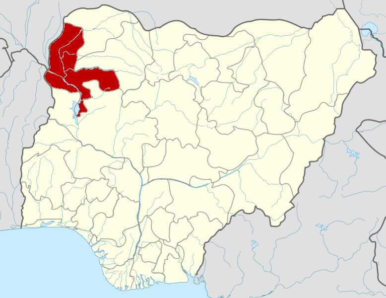
Picture from en.wikipedia.org
READ ALSO: 18 local governments in Cross River state and their headquarters
9. Kwara State
- Short information: Kwara is located within the North Central geopolitical zone, commonly referred to as the Middle Belt
- Date created: 27 May, 1967
- Capital: Ilorin
- Total area: 36,825 km2
- Total population (2006): 2,365,353
- Time zone: UTC+1 (GMT)
- Number of Local Government Areas: 16 (Asa, Baruten, Edu, Ekiti, Ifelodun, Ilorin East, Ilorin South, Ilorin West, Irepodun, Isin, Kaiama, Moro, Offa, Oke Ero, Oyun, Pategi)
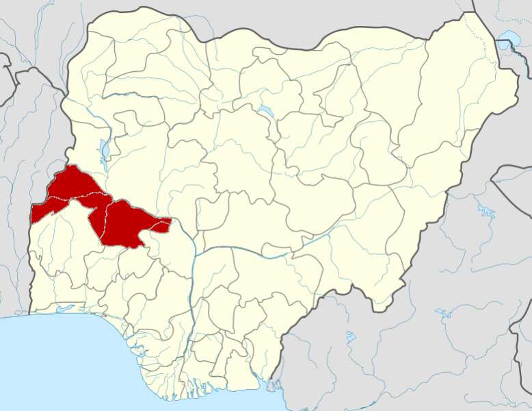
Photo from en.wikipedia.org
8. Adamawa State
- Short information: The state is bordered by the Borno on the northwest, Gombe on the west, and Taraba on the southwest. Its eastern border forms the national eastern border with Cameroon
- Date created: August 27, 1991
- Capital: Yola
- Total area: 36,917 km2
- Total population (2006): 3,178,950
- Time zone: UTC+1 (GMT)
- Number of Local Government Areas: 21 (Demsa, Fufore, Ganye, Girei, Gombi, Guyuk, Hong, Jada, Lamurde, Madagali, Maiha, Mayo-Belwa, Michika, Mubi North, Mubi South, Numan, Shelleng, Song, Toungo, Yola North, Yola South)
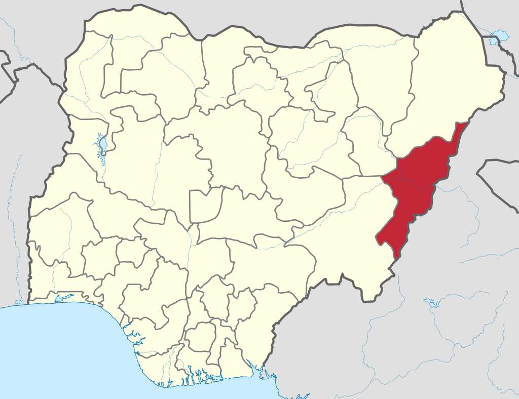
Source of the picture: en.wikipedia.org
7. Zamfara State
- Short information: Zamfara is a state in northwestern Nigeria with predominantly Hausa and Fulani population
- Date created: 1 October, 1996
- Capital: Gusau
- Total area: 39,762 km2
- Total population (2006): 3,278,873
- Time zone: UTC+1 (GMT)
- Number of Local Government Areas: 14 (Anka, Bakura, Birnin Magaji/Kiyaw, Bukkuyum, Bungudu, Tsafe, Gummi, Gusau, Kaura Namoda, Maradun, Maru, Shinkafi, Talata Mafara, Zurmi)
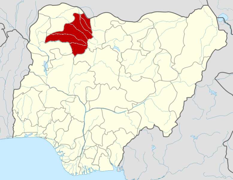
Photo from en.wikipedia.org
6. Yobe State
- Short information: The state borders four states, which are Bauchi, Borno, Gombe, and Jigawa State. It borders the Diffa Region and the Zinder Region to the north of the Republic of Niger
- Date created: 27 August, 1991
- Capital: Damaturu
- Total area: 45,502 km2
- Total population (2006): 2,321,339
- Time zone: UTC+1 (GMT)
- Number of Local Government Areas: 17 (Bade, Bursari, Damaturu, Geidam, Gujba, Gulani, Fika, Fune, Jakusko, Karasuwa, Machina, Nangere, Nguru, Potiskum, Tarmuwa, Yunusari, Yusufari)
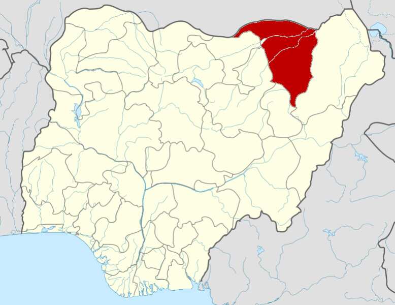
Picture from en.wikipedia.org
5. Bauchi State
- Short information: The state is bordered by seven states: Kano and Jigawa on the north, Taraba and Plateau on the south, Gombe and Yobe on the east, and Kaduna on the west.
- Date created: 3 February, 1976
- Capital: Bauchi
- Total area: 49,119 km2
- Total population (2006): 4,653,066
- Time zone: UTC+1 (GMT)
- Number of Local Government Areas: 20 (Bauchi, Tafawa Balewa, Dass, Toro, Bogoro, Ningi, Warji, Ganjuwa, Kirfi, Alkaleri, Darazo, Misau, Giade, Shira, Jama'are, Katagum, Itas/Gadau, Zaki, Gamawa, Damban)
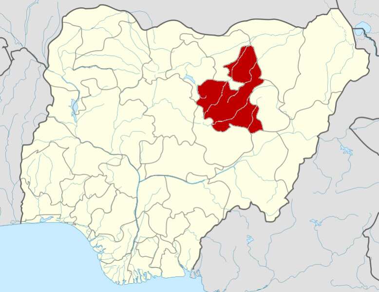
Source of the photo: en.wikipedia.org
4. Kaduna State
- Short information: It is a state in Northwest Nigeria
- Date created: 27 May, 1967
- Capital: Kaduna
- Total area: 46,053 km2
- Total population (2006): 6,113,503
- Time zone: UTC+1 (GMT)
- Number of Local Government Areas: 23 (Birnin Gwari, Chikun, Giwa, Igabi, Ikara, Jaba, Jema'a, Kachia, Kaduna North, Kaduna South, Kagarko, Kajuru, Kaura, Kauru, Kubau, Kudan, Lere, Makarfi, Sabon Gari, Sanga, Soba, Zangon Kataf, Zaria)
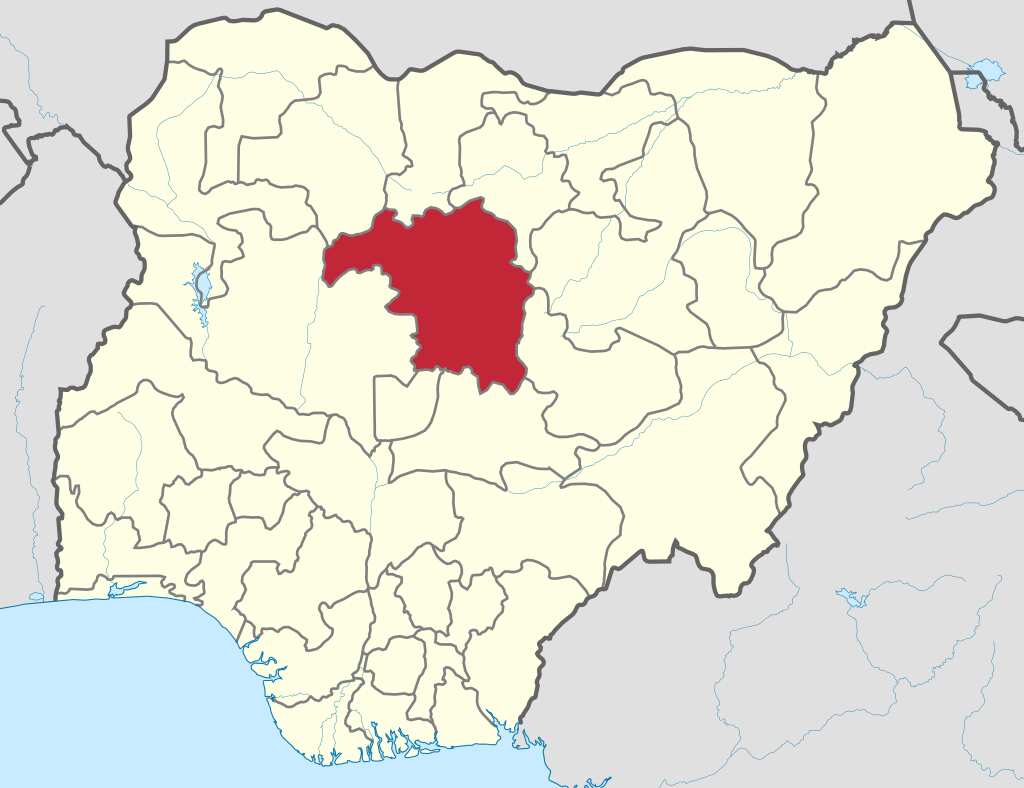
Picture from en.wikipedia.org
3. Taraba State
- Short information: Taraba State is bordered in the west by Nasarawa State and Benue State, in the northwest by Plateau State, in the north by Bauchi State and Gombe State, in the northeast by Adamawa State, in the east and south by Cameroon
- Date created: 27 August, 1991
- Capital: Jalingo
- Total area: 54,473 km2
- Total population (2006): 2,294,800
- Time zone: UTC+1 (GMT)
- Number of Local Government Areas: 16 (Ardo Kola, Bali, Donga, Gashaka, Gassol, Ibi, Jalingo, Karim Lamido, Kurmi, Lau, Sardauna, Takum, Ussa, Wukari, Yorro, Zing)
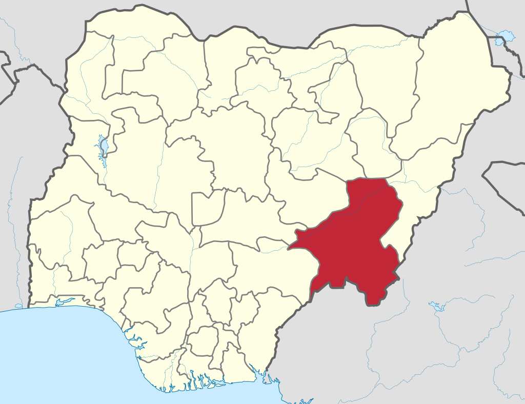
Photo from en.wikipedia.org
2. Borno State
- Short information: It is a state in northeastern Nigeria
- Date created: 3 February, 1976
- Capital: Maiduguri
- Total area: 57,799 km2
- Total population (2006): 4,171,104
- Time zone: UTC+1 (GMT)
- Number of Local Government Areas: 27 (Maiduguri, Ngala, Kala/Balge, Mafa, Konduga, Bama, Jere, Dikwa, Askira/Uba, Bayo, Biu, Chibok, Damboa, Gwoza, Hawul, Kwaya Kusar, Shani, Abadam, Gubio, Guzamala, Kaga, Kukawa, Magumeri, Marte, Mobbar, Monguno, Nganzai)
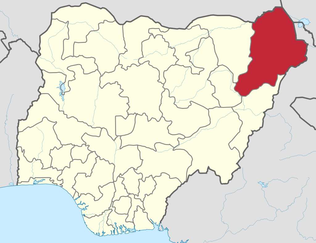
Source of the picture: en.wikipedia.org
Which state is the largest state in Nigeria
Let's find out the details about the largest state in Nigeria.
1. Niger State
- Short information: It is a state in Central Nigeria and the largest state in the country by land mass
- Date created: 3 February, 1976
- Capital: Minna
- Total area: 76,363 km2
- Total population (2006): 3,954,772
- Time zone: UTC+1 (GMT)
- Number of Local Government Areas: 25 (Agaie, Agwara, Bida, Borgu, Bosso, Chanchaga, Edati, Gbako, Gurara, Katcha, Kontagora, Lapai, Lavun, Magama, Mariga, Mashegu, Mokwa, Munya, Paikoro, Rafi, Rijau, Shiroro, Suleja, Tafa, Wushishi)
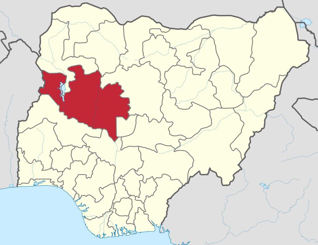
Photo from en.wikipedia.org
Each of the top ten largest state in Nigeria by land mass is distinguished by geography, culture and population.
READ ALSO: Local governments in Anambra state and their towns
Source: Legit.ng
from Nigeria News today & Breaking Naija news ▷ Read on LEGIT.NG 24/7 http://bit.ly/2GWoNDT
via EDUPEDIA24/7
Comments
Post a Comment